INSTANT ON NOW AVAILABLE - Experience Time to first frame as quick as 2 SECONDS
News & Updates
3D Urban Planning: 3 Ways To Streamline Project Efficiency and Decrease Costs
It’s been an iterative process for decades. Advances in digital technology have transformed the way we work and solved problems — and for those interested in urban planning innovation, it’s a welcome change.
The old modelling and consultative methods were time intensive, expensive, and lacked the agility to address the rapidly shifting conditions in population, development, and climate that modern planners and developers must consider. Nimble solutions are required, and for urban planners, that takes the form of progressive, immersive 3D technology.
The United Nations estimates that in less than 10 years, an additional 4% of the world’s population will move to cities, bringing the total number to 60%. It’s a trend that means cities are going to have a significant role in creating the social and economic policies that will reflect our shifting world.
So how can 3D urban planning help us navigate the challenges of population densification and climate change? And as importantly, how can we ensure that these massive projects are efficiently run and provide the ROI any organization seeks?
Here’s how you can use 3D technology to begin streamlining the complexities involved with creating the living and working spaces of today.
1. Take an agile approach to urban planning
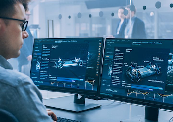
Population booms and the resulting densification — along with the move toward green technology powering vehicles and likely investments in public transportation — provides the perfect opportunity for 3D technology to simulate how best to design our cities of the future. Realistic visualizations of potential urban designs allow you to optimize renderings by using trustworthy data.
As Eric Wittner, lead software engineer at geographic information system software manufacturer Esri, says, new 3D modeling technology “enables us to represent, design, build and develop with clarity and understanding. Urban planners essentially use the technology to generate digital cities that actually exist, or will be developed — effectively giving them a glimpse into the future.”
Through the creation of interactive and editable digital twins of real-world projects or developments, you can leverage analytics to predict challenges such as equipment failure or shifting environmental conditions. This preventative maintenance, when forecasted in the virtual realm, can alleviate the need for expensive resource allocation down the road.
In Boston, Massachusetts
City officials in Boston learned that having accurate 3D renderings of their municipality enabled them to make data, rather than a hypothesis, the driver of their decision-making process.
When a proposed development threatened to run afoul of the city’s law requiring a time limit on shadows cast on a famous park, they were able to use 3D modelling to determine the intensity of shadows created by sun angles at different times of the day, in all seasons.
In Sydney, Australia
In Sydney, a digital twin of the entire city allows anyone to explore Australia’s metropolis, adjust the time of day to gauge which areas receive sunlight, and even filter building types to get a holistic view of a neighbourhood before signing leases or making down payments on offices or residential developments. It can also be used to show the impact of potential developments and how rising sea levels will affect Sydney in the coming decades.
2. Democratize stakeholder decision-making
As anyone involved in project management knows, a large number of stakeholders can complicate a project when there aren’t efficient means to share the wealth of information. In city planning, reducing the number of stakeholders isn’t an option, as many voices and opinions must be considered.
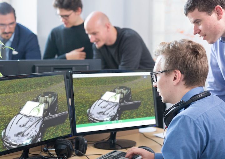
Employing immersive 3D experiences at scale, regardless of where the user is located or which device they may be using, is going to be paramount for speeding up your project management cycle times and solving what our urban areas look like in the future. Previous public-consultation tools like Town Halls or surveys can only hint at the rich data you can attain from gauging real-time reactions to multiple designs, set against multiple environmental conditions.
In the United Kingdom, for example, a large multinational engineering firm leads a variety of large infrastructure projects throughout the country. By using PureWeb to stream their Town Hall meetings, they’re able to use photorealistic representations to showcase developments and projects to a variety of stakeholders in a range of locations.
It’s this kind of transparent, large-scale public involvement that would be prohibitively expensive and inefficient before. A reliable 3D streaming partner like PureWeb can ensure that everyone’s input is considered before moving forward with the extremely technical, cost-heavy projects that will help you adapt your project to shifting environments.
3. Do the early work to prevent later stumbles
There’s nothing more costly and frustrating than having to course correct because of an unanticipated obstacle that requires a re-evaluation of a project’s direction. Whether because of poor planning or failure to anticipate a derailing variable, the waste of time and resources can derail and jeopardize a project.
With 3D technology spearheading urban planning innovation, it’s also not necessary. By making digital twins of existing or future assets, it’s easy for you to attain a new level of accuracy in product development — reducing or eliminating those costly errors down the road. With 360-degree, inside-out views of buildings, alongside the ability to account for granular elements such as heat island effects and the impact on skyline views from every angle, there’s no more guesswork on a development’s impact.
Urban planning innovation: The cities of tomorrow begin today
We live in a 3D world, so it only follows that developers and urban planners would want 3D models in situ. The sophistication levels of 3D modelling are one step in this equation. But it’s equally vital to make sure these prospective environments can be seamlessly shared.
With a dynamic workforce, multiple concerned parties, the necessity to share information with other metropolitan centres, and the diversity of devices used to access the experience, the expertise of a provider who can deploy an immersive 3D experience at scale is crucial to reducing your project costs and improving overall efficiency.
To find out how PureWeb can help your urban planning organization deploy immersive 3D experiences at scale, watch our demos or contact us today.